CINEPATH
Cinepath is a visualized interface for cinematic film locations. This is a personal voyage of cinema in terms of the interdisciplinary studies with cinema and data visualization. Here are tabs of actual data visualizations of two films and Github repository:

Paris, Texas, Directed by Wim Wenders, 1984
IDEATION
I was inspired by a YouTube Video which mapped the opening scene of Baby Driver. However, instead of making a video with tools much as Adobe After Effects to animate all the routes, I had this visualization automaton in mind which uses webpages as the medium and allows user interactions to explore the map online.
DATASET
The datasets of timestamps and coordinates for both Paris, Texas and
Frances Ha were
self-collected with available sources online such as IMDb, Google Street Views that helped analyzing
the film frame by frame with timestamps, as well as director’s commentary that revealed the real
filming location.
CHALLENGES
Now we have coordinates, but how can we show the movement from point A to point B?
I’ve seen several visualizations online like this Google Maps Animation
with all the coordinates along the way and connected by straight lines. When the number of dots is
large enough, it creates smooth turns with Json. However, Online Google Maps API Documentation has
been extremely helpful resources to request a route with specific transportation method varied from
walking to public transportation. So, in a short word, this project is composed of many route
requests to the Google server.
PROTOTYPE
PARIS, TEXAS
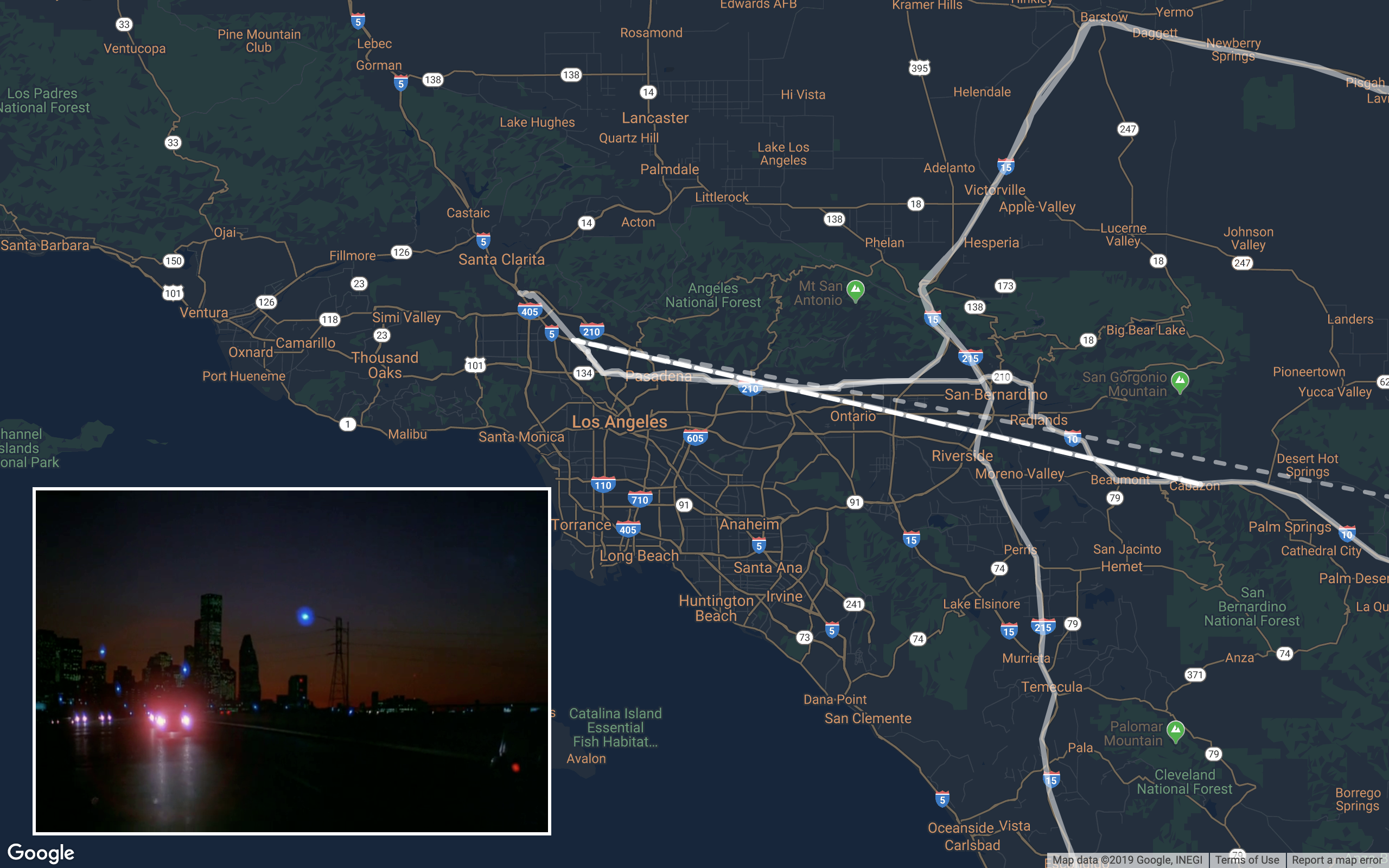
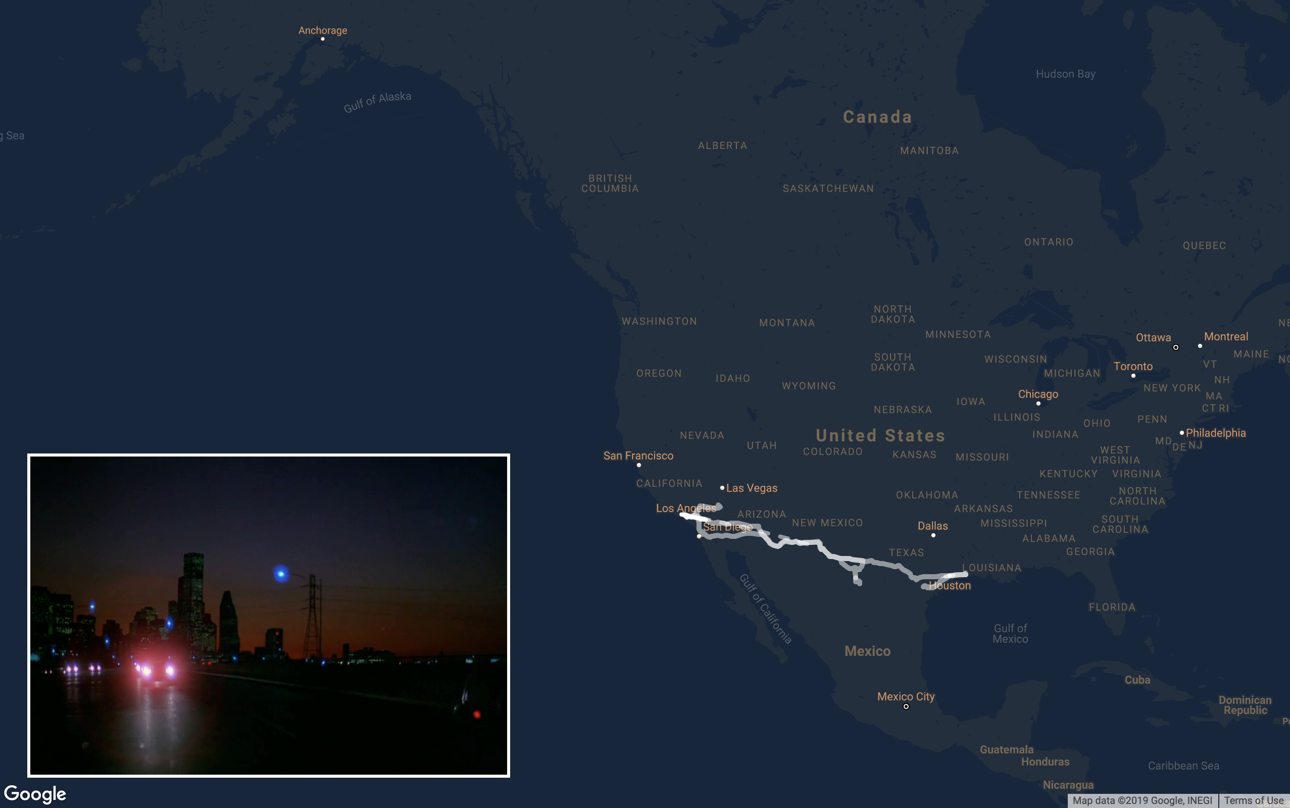
Paris, Texas (1984) directed by Wim Wenders is one of my favorite films in the 80s. It's a road movie by its core. The stories started with Travis, the protagonist, who has been vanished in society for four years re-appeared in the dessert inside Big Bend National Park. These road trips are back and forth between Texas and California, which exemplifies the dynamics of movements in terms of a geographical locations that could possibly evoke viewers' experience of moving through space. For this film, I chose to only have one map of Southeastern part of United States and created an overlay that covered additional sea areas to play snapshots of the film to get audiences a geographical sense of the places when a 145-min film shrinking into 30 seconds.
FRANCES HA
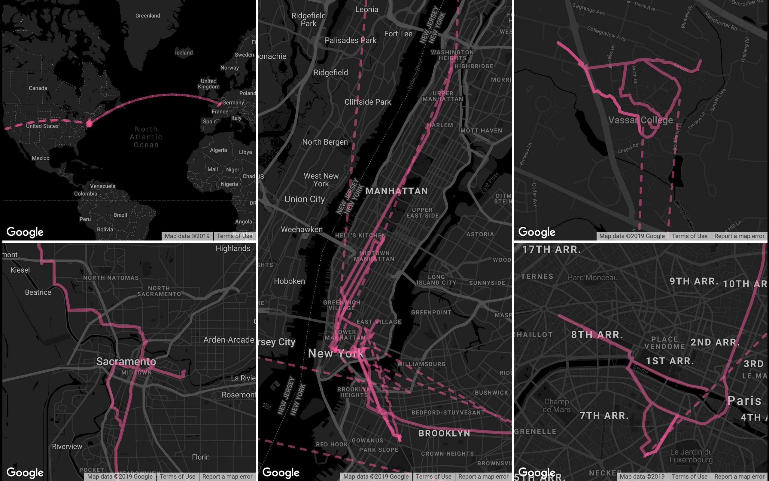
Comparatively, Frances Ha (2013) is a more recent production takes places mostly in New York City. There was also a fair amount of travels in this film where the protagonist visited Sacramento, Paris and Upstate New York. Since there were multiple places, the decision is to have maps for each of the location with an additional world map to get a big picture.
IMPROVEMENTS
To further understand a director's film locations throughout their career, more data visualizations
could be created on one film director, to better analyze their moving patterns, interests of certain
regions and transportation preferences throughout their career.
Technically, the data collection process could also be optimized with deep-learning programs to
recognize locations by video processing to extract frames in the film, In this way, it could reduce
the time and efforts to generate more visualizations with the utilization of a back-end
database.
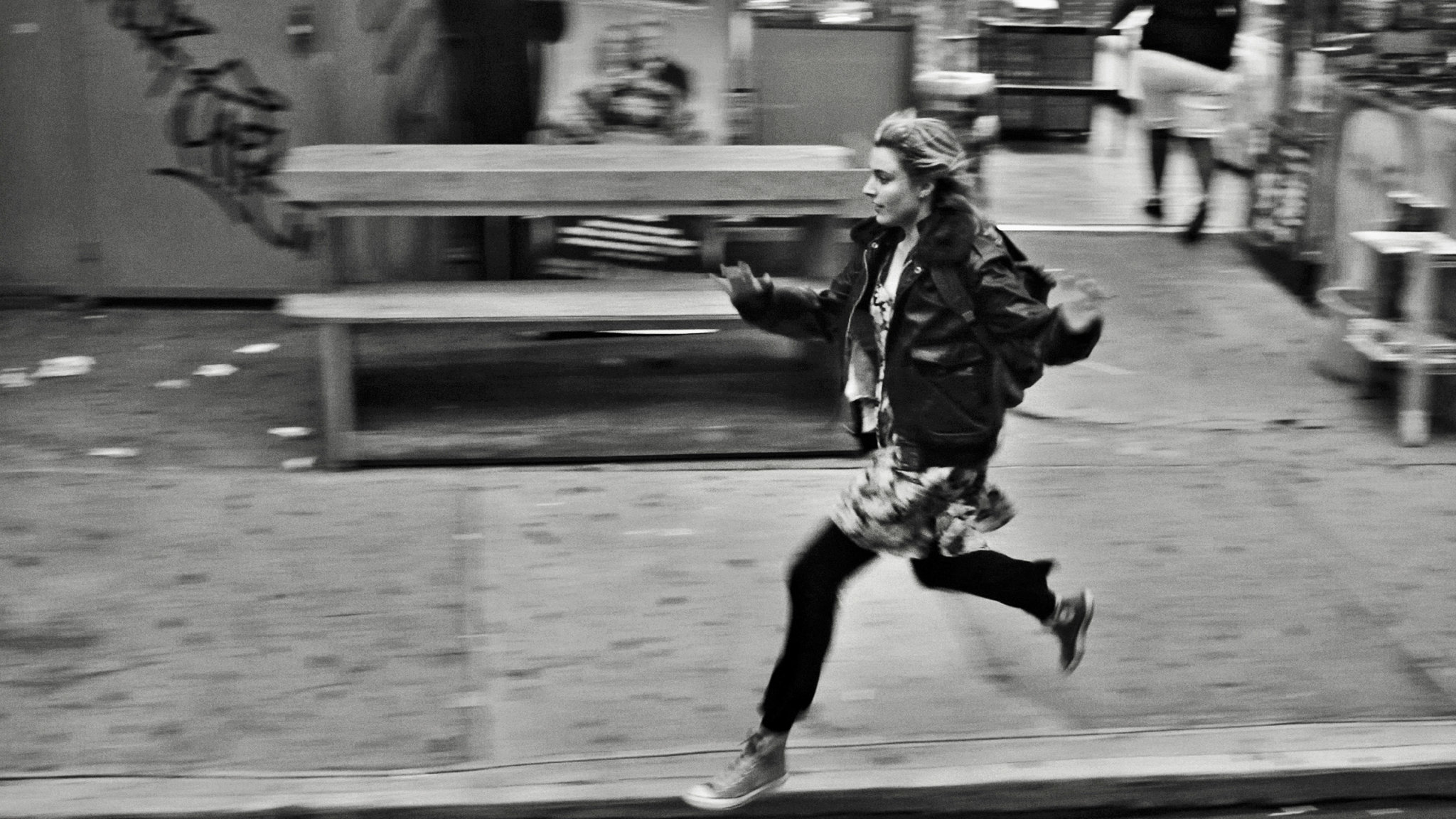
Frances Ha, Directed by Noah Baumbach, 2013
ACKNOWLEDGEMENT
Special thanks to Ben Grosser, a professor in New Media at University of Illinois at
Urbana-Champaign, who has been the best advisor that guided me throughout this project and
encouraged me to think beyond the traditional method.
To my dearest friend Gail Cheng from University of Florida, who helped me out of her way by
repeatedly watching B&W Frances Ha on Netflix and matching storefronts on Google Street
View.
And to all my friends who offered aesthetic suggestions and technical supports, I couldn’t create
this prototype without them.
REFERENCES